www.industry-asia-pacific.com
04
'24
Written on Modified on
LTMetric becomes the first in Asia Pacific to purchase Leica's CountryMapper airborne mapping system
The new sensor provides LTMetric with the collection performance and flexibility needed for large-area surveys, supporting their expansion into the fast-moving markets of forestry, environmental monitoring and land management.
leica-geosystems.com

Leica Geosystems, part of Hexagon, proudly announces that LTMetric, a leading aerial survey company based in Seoul, South Korea, has become the first in the Asia Pacific region to purchase a Leica CountryMapper airborne hybrid sensor.
The new sensor provides LTMetric with the collection performance and flexibility needed for large-area surveys, supporting their expansion into the fast-moving markets of forestry, environmental monitoring and land management.

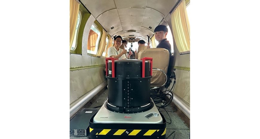
LTMetric team operating the Leica CountryMapper
The CountryMapper leverages Leica Geosystems’ expertise in hybrid airborne mapping systems by integrating a large-format photogrammetric camera with a high-performance LiDAR unit into a single sensor pod. This setup enables simultaneous capture of high-resolution images and point clouds, allowing for the generation of highly accurate 2D and 3D data products in a single flight. The CountryMapper offers a robust and flexible solution for a wide range of applications, such as hydrography, forestry monitoring and infrastructure management.
LTMetric, a pioneer in digital twin technology across South Korea, currently operates a Leica CityMapper hybrid sensor and a Leica DMC III imaging sensor. The company plays a significant role in several mapping projects endorsed by the central government and has supported the creation of the digital twins of Seoul, Chuncheon-si and Jangseong-gun, enhancing decision-making processes for local administrations.
www.leica-geosystems.com

